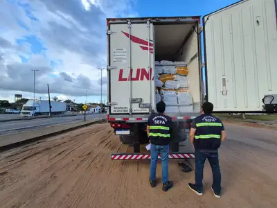
Semas makes geospatial data from Pará available for federal planning and territorial integration
The idea is to support the integrated planning of policies aimed at land use concessions
To support the integrated planning of federal policies aimed at the territory of Pará, the State Secretariat for the Environment, Climate and Sustainability (Semas) shared with various federal agencies a set of updated geospatial databases containing detailed environmental information about Pará.
The objective is to enhance data integration to improve the information used by federal environmental and territorial management agencies, supporting the integrated planning of policies related to land use concessions and their natural resources, contributing to the responsible management of federal actions designed for Pará. The environmental data were directed to managing agencies of sectoral policies, which can support their actions with specific information about the State.
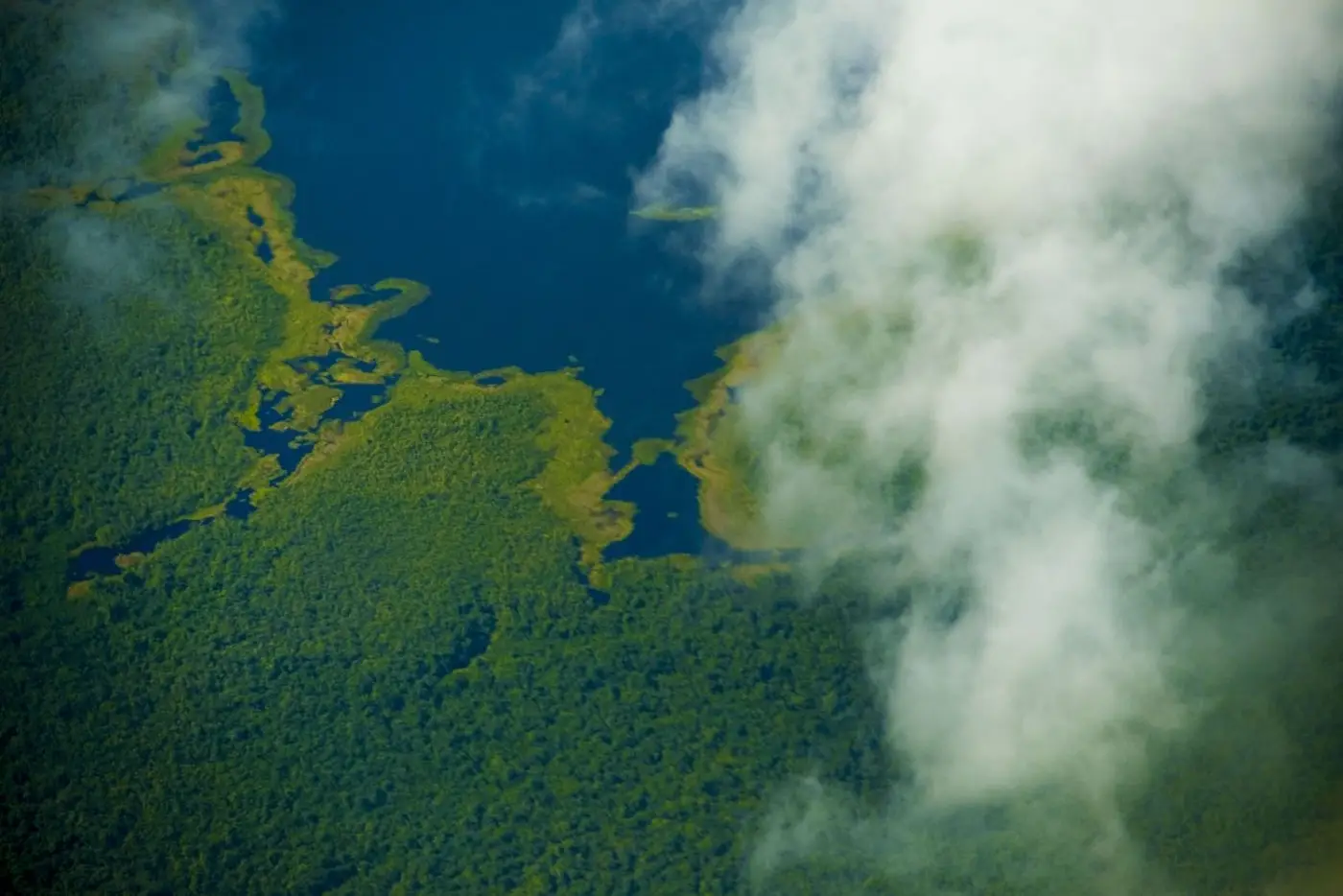
Among the shared data are information about protected areas defined by regional legislation, including environmentally sensitive zones provided for in the Economic-Ecological Zoning of Pará, forest concessions, areas with sustainable forest management plans, reforestation projects, environmental servitude, vegetation suppression, state and municipal conservation units, state rural settlements, and quilombola territories, reforestation areas, and fishing territories; the data were also shared by integration region.
According to the Deputy Secretary of Environmental Management and Regularity of Semas, Rodolpho Zahluth Bastos, the provision of these environmental inputs is essential to improve the articulation, planning, and execution of programs, projects, and activities, as well as for the issuance of authorizations related to concessions, permits, auctions, and public grants for the use of resources in the territory of Pará.
“Dialogue with different sectors of territorial planning is fundamental for infrastructure agendas, regional development, and the management of mineral, water, and forest resources to be operationalized in an integrated and transversal manner. It is important that federal agencies consider *the geospatial data of Pará* in the design and planning of projects, such as linear enterprises for energy generation and transmission, as well as mining concessions, avoiding conflicts with sensitive areas or areas with use restrictions. This preventive approach contributes to a more efficient territorial environmental management and avoids overlaps that could compromise the sustainability of the territories,” emphasizes Rodolpho.
The Superintendent of Dam Safety and Mining Piles at the National Mining Agency (ANM), Luiz Paniago Neves, congratulated Semas for the initiative and thanked for the sharing of the public database, made available through the Regulariza Pará Portal, emphasizing that “the action is aligned with the transparency and cooperation guidelines that should guide all public institutions.”
*Thiago Prado, President of the Energy Research Company (EPE), an entity linked to the Ministry of Mines and Energy (MME) responsible for developing research that supports the planning of the Brazilian energy sector, also thanked for the availability of the data, “updated and relevant for the energy planning studies conducted by EPE.”*
The Deputy Secretary of Semas also highlights the importance of the measure as a way to mitigate conflicts between different forms of land use. “It is important that state agencies consider the territorial inputs of Pará in the sectoral planning conducted by different ministries and federal agencies. This is essential to minimize conflicts and overlaps even in the state planning phase. Without the preventive care of integrating different sectoral plans, the burden of resolving land use conflicts falls exclusively on environmental licensing, overloading and often hindering the licensing of activities and enterprises that are subject to federal public concessions.”
The availability of these databases is public and can be accessed through the Portal of the Regulariza Pará Program, with updates being carried out periodically.
Through the provision of updated geospatial data and the integration between public agencies and society, the program seeks to strengthen the necessary transversality for the implementation of environmental policy in Pará, being fundamental for the instrumentalization of public projects that may impact protected areas and territories of traditional peoples and communities, thus encouraging environmental conservation, supporting the socioeconomic development of local communities, respecting cultural diversity and the regional specificities of Pará.
Regulariza Pará - Thus, the portal of the Regulariza Pará Program acts as a strategic tool to promote transparency, access to information, and integration among the different actors involved in the territorial and environmental management of the state. By providing updated and reliable data, the program contributes to more accurate and sustainable decision-making, strengthening territorial planning, land regularization, and responsible socio-environmental development in Pará.
The territorial data were forwarded by Semas to the following federal agencies: Ministry of Mines and Energy; Secretariat of Geology, Mining and Mineral Transformation; National Secretariat of Energy Transition and Planning; National Mining Agency (ANM); Superintendency of Planning and Strategy, including its regional units in Pará; Superintendency of Mining Titles Granting; Superintendency of Dam Safety and Mining Piles, including the regional management; National Electric Energy Agency (ANEEL) and its superintendencies; Energy Research Company (EPE); Ministry of the Environment and Climate Change and its secretariats; Brazilian Institute of Environment and Renewable Natural Resources (Ibama headquarters in Brasília), its directorates and its superintendency in Pará; Ministry of Integration and Regional Development; Ministry of Indigenous Peoples; National Foundation of Indigenous Peoples; Chico Mendes Institute for Biodiversity Conservation (ICMBio); National Institute of Historical and Artistic Heritage (Iphan) and its Superintendency in Pará; National Institute of Colonization and Agrarian Reform (Incra) and its superintendencies; in addition to the Superintendency of the Union Heritage in Pará (SPU/PA) and the National Agency of Waters and Basic Sanitation (ANA).